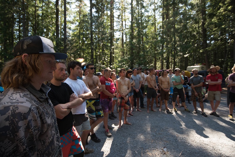
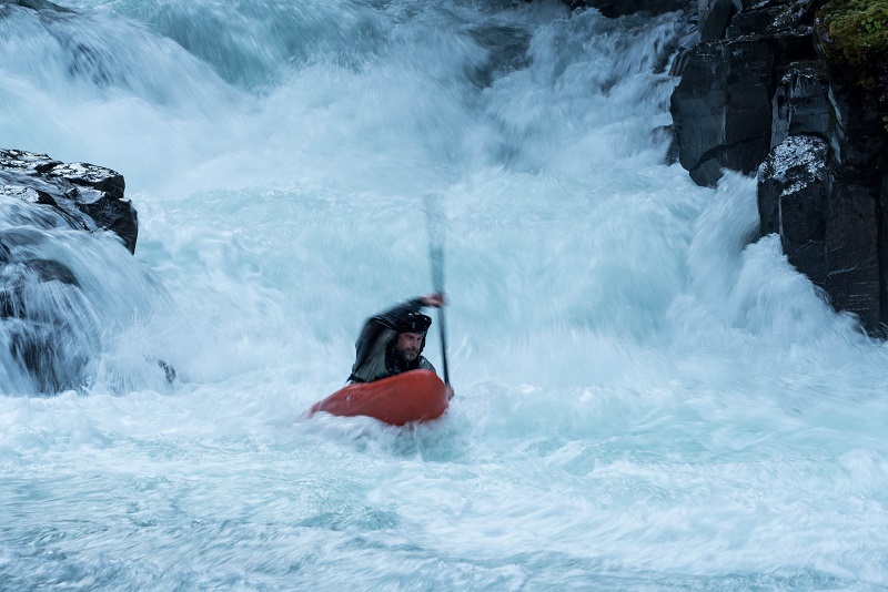
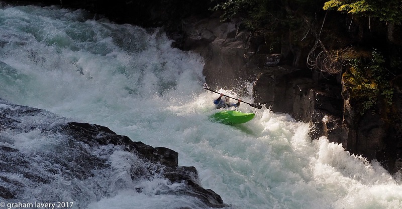
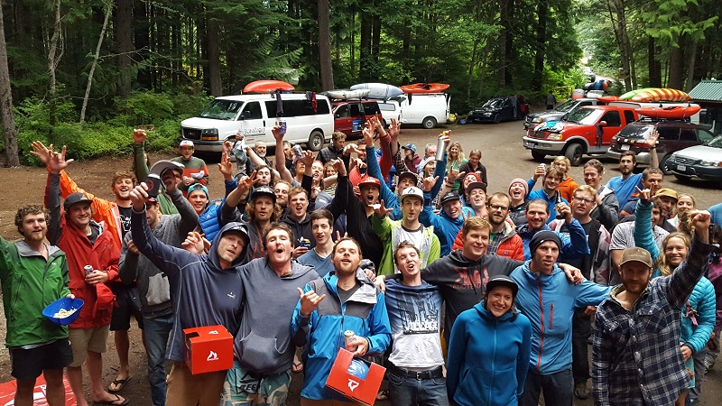
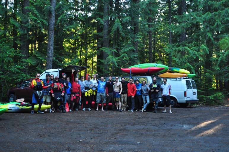
Callaghan Creek Race - July 6, 2019
The 10th Annual Callaghan Creek happened on July 6, marking a decade of racing this classic stretch of whitewater. 46 competitors rounded out the field this year, braving cool rainy weather to run laps, race and party into the early hours of the morning. A weak snowpack led to low levels in the week leading up to the race, but a few days of rain rescued the level to a mellow but acceptable 0.18.
The shortened course was used this year.
A massive thanks goes out to everyone who helped make the race happen - the racers, party organizers and timing volunteers - it wouldn't be the same without your help. Thanks everyone for coming out!
- Blake Miller - Tad Dennis - 15:34
- Louis Geltman - Geoff Calhoun - 15:47
- Jure Stan - Kiah Schaepe - 16:08
- Rhys Elliott - Sam Ricketts - 16:12
- Raphael Boudreault-Simard - Rich Kemble - 16:15
- Max Nielsen - Richard Maggs - 16:38
- Corey Boux - Ash Bullivant - 16:49
- Tyler Russell - Mariano Ferrer - 16:50
- Philip Gibbins - Kynan Maley - 17:17
- David Graham - Taylor ?? - 17:25
- Rowan Kaar - Jake Perram - 17:28
- Scott McBride - Graham Litman - 17:30
Steve Arns - Sam Murray - Matt Kompass - 17:30 - Andy Osadetz - Ryan Boudens - 17:33
- Russell Henry - Paul Dempsey - 17:41
- Darby McAdams - Blake Hornblow - 17:46
- Will Riorden - Maxi Kniewasser - 18:13
- Josh Plankeel - Thierry Green - 18:36
- Jen Chrimes - Crista Wiles - 19:16
- Daphnee Tuzlak - Tess Fields - Monique Boag - 19:29
- Earl Ree-Goodings - Jon Lane - 1:22:43
- Davy ? - Angus ? - DNF
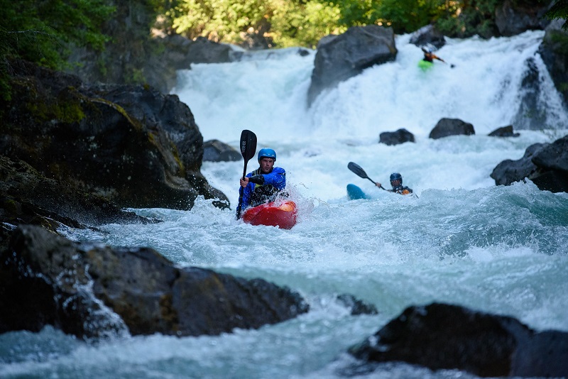
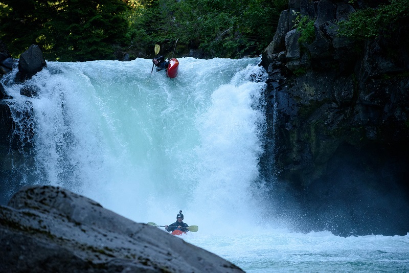
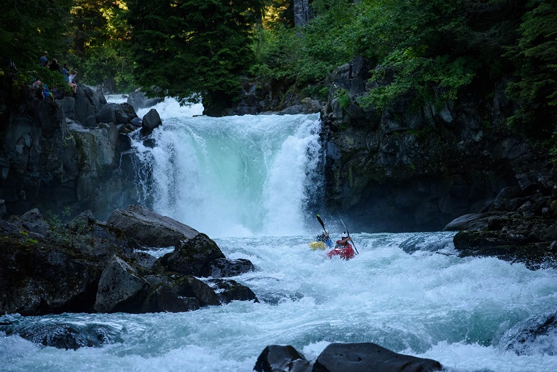
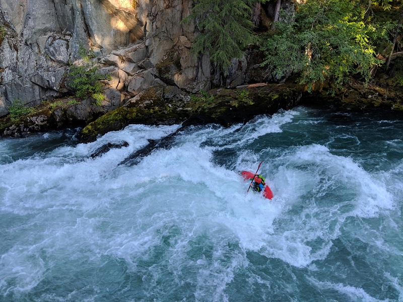
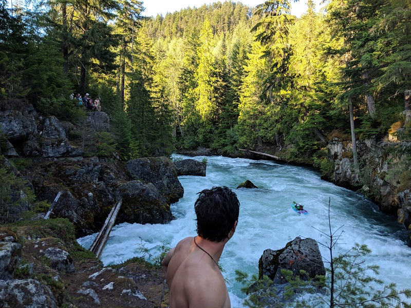
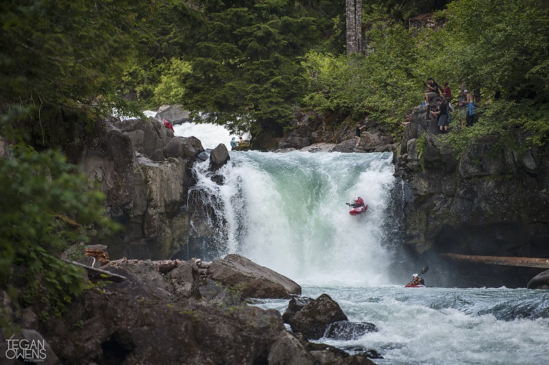
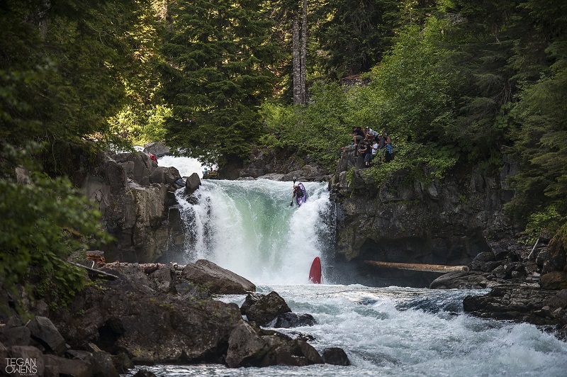
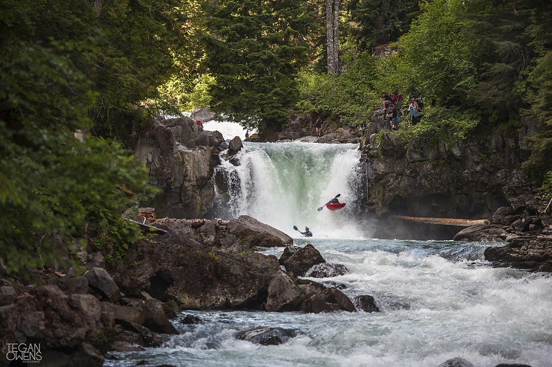
Upper Cheakamus Race - July 5, 2019
The Upper Cheak Race was also a huge success this year. The normal course was used, from the eddy above the falls all the way down to the take out by the gauge. The level was 2.45. Congrats to Blake to being the dual champion this year!
- Blake Miller - 10:41
- Kiah Schaepe - 10:50
- Geoff Calhoun - 10:53
- Tad Dennis - 10:58
- Rhys Elliott - 11:01
- Rich Kemble - 11:02
Fidel Moreno - 11:02 - Philip Gibbins - 11:03
- Jure Stan - 11:10
- Sam Ricketts - 11:16
- Tyler Russell - 11:18
Francisco Jirmenez - 11:18 - Richard Maggs - 11:27
- Ricky Miller - 11:30
Jake Perram - 11:30 - Edward Muggridge - 11:33
Mirko Moreno - 11:33 - Mike Gottlieb - 11:37
- Scott McBride - 11:43
- Corey Boux - 11:44
- Kynan Maley - 11:45
- Max Nielsen - 11:46
Blake Hornblow - 11:46 - Jen Chrimes - 11:48
- Garreth Thomas - 11:49
- Josh Plankeel - 11:50
- Russell Henry - 11:53
- Rowan Kaar - 11:55
- David Graham - 11:57
- Paul Dempsey - 11:58
- Earl Ree-Goodings - 12:02
- Zach Morgan - 12:04
- Andy Osadetz - 12:05
Ryan Boudens - 12:05 - Luke Longridge - 12:09
- Steve Arns - 12:10
- Theirry Green - 12:17
- Tess Fields - 12:24
- Will Riorden - 12:28
- Daphnee Tuzlak - 12:35
- Jon Lane - 12:38
- Darby McAdams - 12:50
- Brydhi Stark - 13:05
- Connor ?? - 13:10
- Crista Wiles - 13:15